Skip to content
Search
Menu

We earn a commission if you book through this link. You pay the same price.

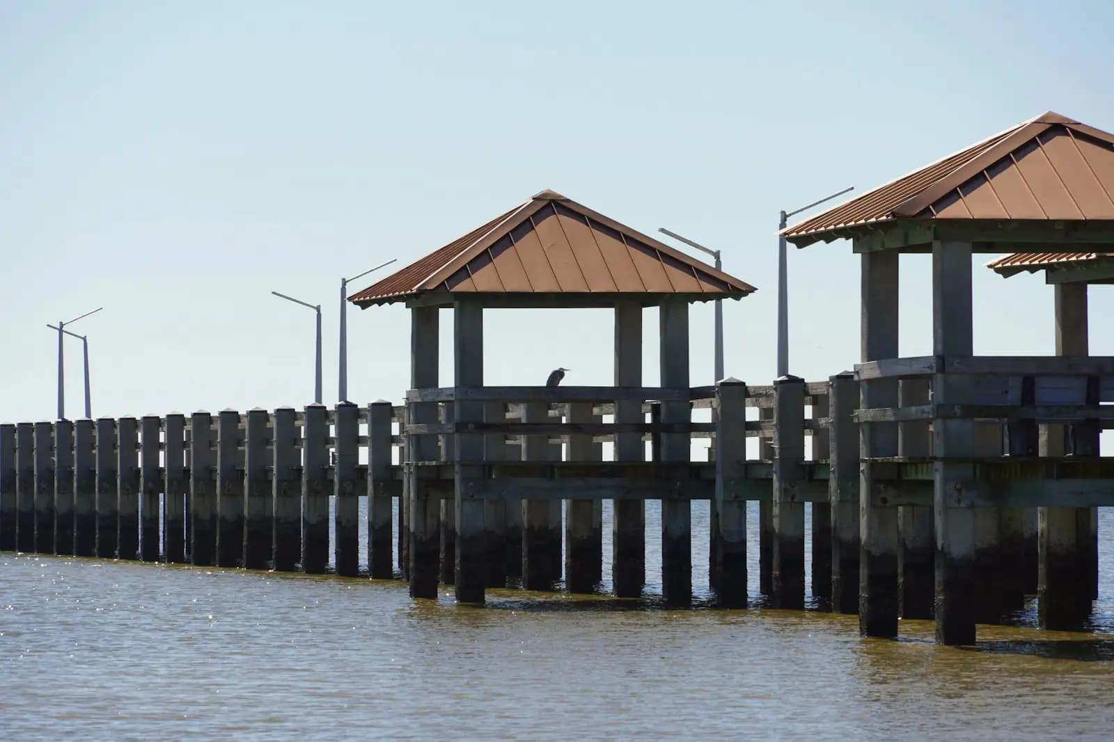
A long low fishing pier with covered shelters standing over flat brown water under a pale sky
Unsplash

Things to Do

Biloxi Beaches: What the Sand Actually Is

Last updated

The beach along US 90 in Biloxi is man-made and fronts the Mississippi Sound, not the Gulf. Why the water looks like that, and where to find clear water.

Twenty-six miles of white sand run along the Harrison County shoreline, unbroken from Biloxi through Gulfport and on towards Pass Christian, and almost none of it is natural. It was built. After the 1947 hurricane chewed at the seawall holding up the beach road, engineers proposed an artificial sand beach as shore protection, and in 1951 and 1952 dredges pumped sand along the whole county frontage. The result was advertised at the time as the longest man-made beach in the world, and it is still doing the job it was designed for: absorbing wave energy that would otherwise break directly on concrete.

Understand that origin and the rest of it makes sense. The sand is flat, wide and graded, because it was placed rather than deposited. There are no natural dunes, because dunes take decades of wind and vegetation and this beach is swept and maintained. Four lanes of US 90 run immediately behind, so you park, cross, and you are on it, which is either wonderfully convenient or a little strange depending on what you are used to.

Then there is the water, which is the part nobody warns people about. This is the Mississippi Sound, not the Gulf of Mexico. The Sound is a long shallow lagoon, much of it only about twenty feet deep, held in by the barrier islands ten to twelve miles offshore. Those islands take the Gulf swell, which is why there is no surf here at all on a normal day and why the sea can be flat as a table for a week. Several river systems empty into the Sound, and the water they deliver carries silt and tannin. The colour that people photograph and complain about is river water doing what river water does. It is not sewage and it is not, in the ordinary case, pollution.

So the honest summary. If you want to walk five miles of empty sand at sunrise, fly a kite, paddleboard on glass, fish off a pier or watch the sun go down behind the Biloxi Lighthouse from a beach that costs nothing and never fills up, this is a good beach and an underrated one. If you want clear green water to swim in, you need a boat, and the page on Ship Island explains which one.
An engineered shoreline, and why that matters to you

The beach exists as infrastructure. That is not a criticism, it is the explanation for nearly everything a visitor notices.

Because the sand was placed as a buffer in front of a seawall, the profile is unusually flat and the beach is unusually wide for its setting. Because it is maintained rather than left alone, it gets groomed and it gets renourished when storms move material off it, which happens most years in some measure and dramatically in a bad one. Because it was built along a road rather than behind a dune system, there is no walkover, no boardwalk, no shade and very little vegetation. You can see the entire beach from the car, which is why so many people drive past it without stopping.

The seawall behind it is older than the sand. It was built in the 1920s to stop the shoreline eating the road, and it is the reason the mainland has a hard edge at all. The 1947 hurricane demonstrated that concrete alone was losing, and the sand went in as the answer.

Practically, this means two things. First, the beach is genuinely accessible, with parking along the frontage road and short crossings, and that is a real advantage for anyone with mobility limits or a lot of gear. Second, conditions change fast after storms: sand is moved, debris arrives, and access points close for clearing. Local reporting on beach condition after a blow is worth ten minutes before you drive out.

Why the water is brown, and why that is mostly fine

Two paddleboarders crossing a wide sheet of mirror-calm water under a soft hazy skyUnsplash
Two paddleboarders crossing a wide sheet of mirror-calm water under a soft hazy sky

This is the single most asked question about the Mississippi coast, and it has a clean answer.

The Sound is a shallow estuary. It receives fresh water from the Pearl to the west, the Pascagoula to the east and the Mobile system beyond that, and closer to hand from the Wolf and Jourdan rivers through Bay St. Louis and from the Biloxi River through the Back Bay. Rivers carry suspended clay and silt. They also carry tannins leached from swamp and pine forest, the same compounds that make tea brown. Mix that with a lagoon twenty feet deep and a bottom that a stiff breeze can stir from top to bottom, and you get water the colour of weak coffee.

Salinity moves with it. After weeks of heavy rain upstream the Sound is closer to fresh than to seawater, which matters to oysters, shrimp and the people who catch them far more than it matters to swimmers.

None of that makes the water dirty in the sense people fear. What does affect swimming is bacteria after heavy rain, when runoff reaches the Sound faster than it disperses, and the state posts water-contact advisories for individual beaches when sampling warrants it. The sensible rule here is the same one that applies to any urban estuary: check the current advisory list before swimming, and give it a day or two after a serious downpour.

What this beach is genuinely good at

Having said the hard part, here is the case for it, because the mainland shore is badly undersold.

It is empty. Twenty-six miles of sand and a coastal population that mostly does other things with its weekends means you can walk for an hour on a Tuesday morning in October and pass a dozen people. Compared with any resort beach on the Florida panhandle in the same week, that is an extraordinary luxury.

It is flat water. No swell, no shorebreak, and on a still morning a surface like poured glass. That makes it one of the better stretches of the northern Gulf for a beginner on a paddleboard or a kayak, and it is why kiteboarders gather on the windier afternoons: steady onshore breeze, no waves to fight, and shallow water for a very long way out.

It is free and it is right there. No gate, no beach club, no chair concession, and parking along the frontage that in most places costs nothing.

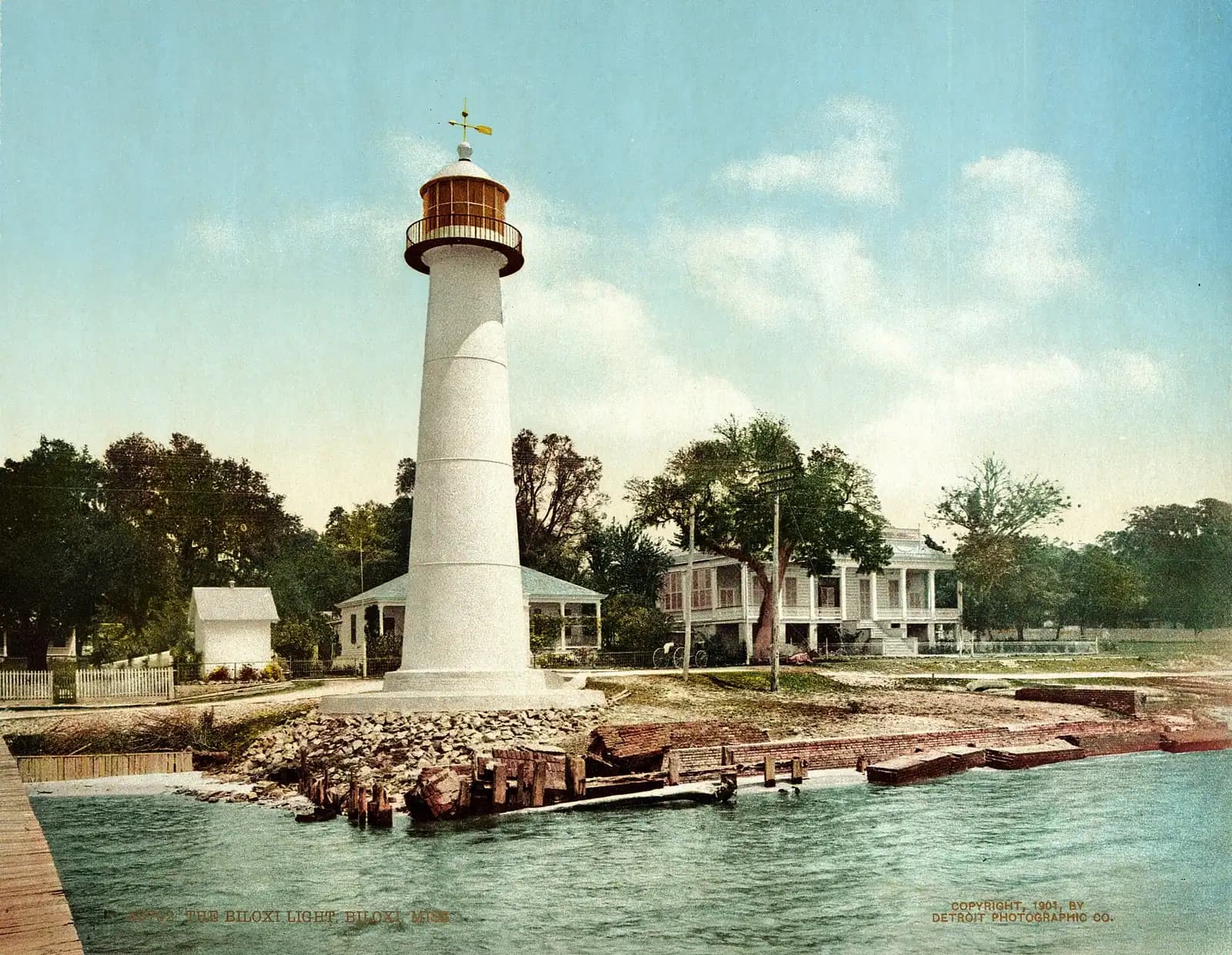
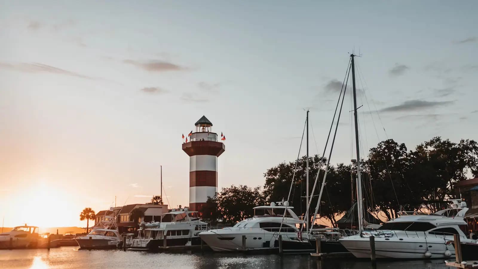
And it has the light. The sun goes down over the water here, which is not true on most of the east-facing Gulf coast, and the Biloxi Lighthouse standing in the middle of the highway makes a silhouette that the city has used as its symbol for the better part of two centuries. Sunset on this beach is the single best free thing to do in Biloxi.

Parking, lifeguards, dogs and the stinging things

Local tips

  • Parking. There is public parking the length of the beach road, and in most places it is free. It is also unshaded and it fills near the lighthouse and the harbour on summer weekends. Do not leave valuables visible; this is a city beach beside a busy highway.
  • Lifeguards. Do not count on them. Stretches of the mainland beach are unguarded, and the flag-and-tower culture of a Florida resort beach does not exist here in the same form. Swim where other people are swimming, and keep children within arm's reach even though the water is shallow.
  • The drop-offs are not the hazard, the boats are. Near the harbour entrances and the bridge channels there is real traffic, including shrimp boats that cannot stop. Swim well clear of any marked channel.
  • Jellyfish. Sea nettles arrive in warm water, mainly from midsummer into early autumn, and a bad week is noticeable. Vinegar, not fresh water, for a sting; check local advice before you wade in August.
  • Dogs. Rules differ by city along this shoreline and can differ by season. Check the local ordinance for the stretch you are on rather than assuming, and carry bags either way.
  • Restrooms and showers. Thin on the ground and concentrated near the piers and larger access points. Plan around the one you know rather than the one you hope for.
  • Shade. There is none. On a July afternoon the sand is genuinely dangerous underfoot and there is no tree line to retreat to. Morning and evening are the sensible windows.

The summer of 2019, and why locals still flinch

Before you book

In 2019 the Bonnet Carré Spillway upriver from New Orleans was opened twice in the same year, the first time that had ever happened. It ran from late February for six weeks, then again from the middle of May for eleven. Opening the spillway sends Mississippi River water into Lake Pontchartrain and out through the passes into the Mississippi Sound, and that volume of fresh water arriving over a shallow estuary in spring had consequences that people here can still list from memory.

The harvestable oyster reefs died. Shrimp moved out. Through June, all twenty-one of Mississippi's mainland beaches were closed to water contact during a harmful algal bloom, which in practice meant a whole summer season with signs on the sand telling visitors to stay out of the sea. The tourism damage was severe and the fisheries damage was worse.

This is not a warning that it is happening now. It usually is not. It is the reason this page tells you to look up the state's beach monitoring results rather than assuming, and the reason a local will answer the question about water quality with a date rather than a shrug.

Check before you swim, particularly in late spring and early summer of a high-river year, and particularly after days of heavy rain upstream. The information is published, current and specific to each named beach.

If clear water is non-negotiable

How they compare

Say it plainly: the mainland will not give you the water in the photograph. Here is what will, and what each option costs you.

OptionWhat you getWhat it takes
Ship Island, Gulf sideClear green Gulf water, small surf, a swim beach with facilitiesA ferry from Gulfport, about an hour each way, mid-March to October only
Horn or Petit BoisWild, empty, genuinely clear water and nobody on itA private or chartered boat; no facilities of any kind
Deer IslandThe nearest island to the city, quiet and undevelopedA boat or a kayak crossing of the channel; not a swimming destination
Ocean Springs Front BeachA small, sheltered, family-scale beach across the bayA ten-minute drive; the water is still Sound water
Driving east to Alabama or FloridaOpen Gulf beaches with surf and clear waterNinety minutes to Gulf Shores, longer to the panhandle. A day, not a morning

The honest recommendation for a first visit is the ferry. It is the only option that turns the disappointment into the best day of the trip, and it is the reason this pack gives Ship Island a page of its own.

On the ground

Where to go

Every place below has its own page — hours, parking, what it costs and what to expect when you get there.

  • Park

    A wide empty stretch of pale sand running away beside shallow clear water with almost nobody on it

    Ship Island

    A barrier island twelve miles offshore with clear Gulf water, a brick fort, and an anchorage that shaped three centuries here.

    4–7 hoursThe island itself carries no entrance fee. Getting there does — the ferry is a ticketed service, and a private charter costs considerably more.

  • Landmark

    A lighthouse rising above a low building at the water's edge
    Free

    Biloxi Lighthouse

    An 1848 cast-iron tower marooned in the median of a four-lane highway, kept for sixty-three years by one family of women.

    0.5–1 hoursFree to see and photograph from the street or the beach. Climbing the tower carries a small fee when climbs are running.

  • Neighbourhood

    A palm-lined pedestrian street with low shopfronts and cafe tables set out along it
    Free

    Ocean Springs

    Two miles east across Biloxi Bay: galleries, live oaks, a walkable main street and the site of the first French settlement on this coast.

    2–6 hoursFree to visit. Galleries are free to browse; the museum and Shearwater are separate.

  • Beach

    Low evening sun over a wide empty beach with wet sand reflecting the sky
    Free

    Biloxi Beach

    Miles of public sand along the beach highway, free to use, shallow a long way out, and with no shade anywhere on it.

    1–4 hoursFree. The sand is public along its whole length and parking along the frontage is free in most places.

  • Neighbourhood

    Boats tied along a dock in a sheltered marina basin
    Free

    Pass Christian

    An oyster harbour, a shaded drive of rebuilt houses and the site of the highest storm surge ever measured in the United States.

    2–5 hoursFree. The harbour, Scenic Drive and the waterfront parks cost nothing.

  • Nature preserve

    Aerial view of a narrow strip of undeveloped pale sand between green water and dense pine forest
    Free

    Deer Island

    Four hundred acres of state-owned pine and marsh a short paddle off the beach road, with no ferry, no dock and nothing built on it.

    2–5 hoursFree. The cost is the boat.

  • Neighbourhood

    Rows of boats moored in a marina basin on flat water at first light with a low skyline beyond
    Free

    Gulfport

    Mississippi's second city, twelve miles west along the beach road, holding the Ship Island ferry, the airport and the aquarium.

    1–5 hoursFree to visit. Jones Park and the harbour cost nothing; the ferry, the aquarium and the casinos do not.

Straight answers

Questions people actually ask

Is the beach in Biloxi man-made?

Yes. The sand along US 90 was placed by dredges in 1951 and 1952 as shore protection for the seawall carrying the beach road, after the 1947 hurricane demonstrated that concrete alone was not holding. It runs roughly twenty-six miles through Harrison County and was promoted at the time as the longest man-made beach in the world. It is maintained and renourished rather than left to nature.

Why is the water brown in Biloxi?

Because it is estuary water, not open Gulf. The Mississippi Sound is a shallow lagoon fed by the Pearl, Pascagoula and Mobile river systems and by local rivers through the bays, and those rivers carry silt and tannins that tint the water brown-green. The barrier islands ten to twelve miles offshore keep the clear Gulf water out. It is river colour rather than pollution, though separate bacteria advisories are posted after heavy rain.

Can you swim at Biloxi beach?

You can, and people do, but check the state's beach water-quality advisories first. Sampling along this shoreline sometimes produces contact advisories for individual beaches, usually after heavy rain washes runoff into the Sound. The water is shallow, warm and almost waveless, which makes it easy swimming. Large parts of the mainland beach are unguarded, so treat it accordingly and keep clear of marked boat channels.

Are there waves at Biloxi beach?

Almost never. The barrier islands sit ten to twelve miles offshore and absorb the Gulf swell before it reaches the mainland, so the Sound is usually flat and choppy at worst. That is bad news for a surfer and good news for anyone learning to paddleboard or kayak, and it is why this shoreline suits kiteboarding on breezy afternoons. Wave action only appears when a storm system pushes water in.

Where can you find clear water near Biloxi?

On the Gulf side of the barrier islands. Ship Island, about twelve miles offshore and served by a seasonal ferry from Gulfport, has clear green water and a swim beach with facilities. Horn and Petit Bois are wilder and need a private or chartered boat. On the mainland there is no clear water anywhere, in any season, and no amount of driving along the beach road will find some.

Is parking free at the beach in Biloxi?

In most places along the beach road, yes. There is public parking the length of the frontage and the majority of it carries no charge, which is unusual on the Gulf coast. It is unshaded and it fills near the lighthouse and the harbours on summer weekends. Arrangements can differ between the cities along this shoreline, so read the signage where you stop rather than assuming.

What happened to the Mississippi beaches in 2019?

The Bonnet Carre Spillway opened twice in one year for the first time in its history, in late February and again in May, sending months of Mississippi River fresh water into the Sound. The harvestable oyster reefs died, and in June 2019 all twenty-one mainland beaches were closed to water contact during a harmful algal bloom. It was an exceptional year rather than a normal one, but it is why current advisories are worth checking.

When is the best time for the beach in Biloxi?

Late March through May, and again in October. The water is warm enough from May to October, but summer brings heat in the nineties, high humidity, afternoon thunderstorms and jellyfish, while spring gives you mild air, thinner crowds and the calmest mornings of the year. Winter is not swimming weather at all, with Sound water dropping into the high fifties, though it makes for excellent empty walking.