Nobody comes to the Mississippi coast for the best beach on the Gulf, and the sites that pretend otherwise are why visitors arrive annoyed. What this coast has is twenty-six miles of continuous sand that costs nothing, never fills up, and is backed by free roadside parking for effectively its entire length. That is a genuinely unusual proposition in the United States, and it is a completely different product from an Alabama or Florida beach holiday.
Work out which of those two things you want before you book, and everything else on this page is useful.
The physics, in one paragraph
The mainland beach faces the Mississippi Sound, not the open Gulf. The Sound is a shallow lagoon, much of it about twenty feet deep, sheltered by the barrier islands ten to twelve miles out. Those islands absorb the swell, which is why there is no surf here on an ordinary day and why the water can lie flat as a sheet for a week. Several river systems empty into the Sound, carrying silt and tannin, and that is the brown you see. It is river water behaving normally, not sewage.
The consequence for a swimmer is specific. The hazard on this coast is not rip currents, because there is nothing generating them. It is water quality after heavy rain, which the state monitors and posts as advisories, and it is the sun, because there is no shade of any kind.
Mainland, west to east
| Stretch | Town | What it is good for | The catch |
|---|---|---|---|
| Pass Christian | Harrison County | The quietest end, a working harbour, a proper small-town beach | Half an hour from Biloxi, nothing much open late |
| Long Beach | Harrison County | Wide, empty, residential. Sunsets with almost nobody on them | Few facilities |
| Gulfport | Harrison County | Jones Park, the ferry dock, the aquarium, the busiest access | Also the busiest parking |
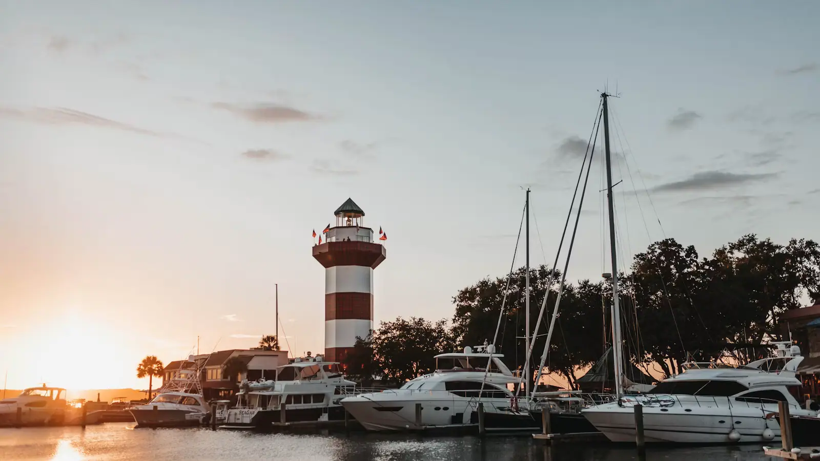
| Biloxi, lighthouse stretch | Harrison County | Sunset with the 1848 lighthouse in the frame. Walkable from downtown | Four lanes of US 90 immediately behind you |
| Biloxi, casino frontage | Harrison County | Rolling out of a hotel lobby onto sand | It is a hotel strip, and it looks like one |
| Point Cadet, east end | Harrison County | Boats, the harbour, fewer people | It is a working waterfront, not a sunbathing beach |
| Front Beach and East Beach | Ocean Springs, Jackson County | Calm bay water, actual trees, best with small children | Small, and it is a different county with its own rules |
The pattern worth noticing: the further west you go from Biloxi, the emptier it gets and the fewer facilities there are. On a summer Saturday the difference between a crowded access and an empty one is about a quarter of a mile of walking.
Ocean Springs is the outlier and the one most visitors miss. It is across the bay bridge, it is in a different county, and its beaches front sheltered bay water with shade trees behind them, which makes them the gentlest option on this coast for toddlers.
The island beaches, which are the real ones
If you want Gulf water, you have to go offshore. There is no shortcut.
Ship Island
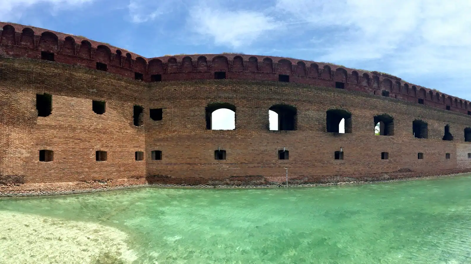
The accessible one: a passenger ferry from Gulfport, roughly an hour each way, running from about mid-March to the end of October. The Gulf-side swim beach is the water everybody came for, and there is a brick fort at the west end. We have a full guide to the logistics because they matter more than the swimming does.
Horn Island and Petit Bois
Both are federally designated wilderness inside Gulf Islands National Seashore. No ferry, no facilities, nothing at all. You get there by private boat or by chartering one, and the reward is one of the least visited shorelines in the eastern United States. Horn is the island Walter Anderson rowed out to alone for weeks at a time.
Deer Island
Deer Island sits a short distance off the Biloxi shore, state-owned, undeveloped and close enough that people paddle to it. Kayaking there is a real option in settled weather, and it is a bad idea in a breeze or a running tide, because the channel between is busier and more tidal than it looks.
Practical things the signs do not tell you
- Parking is free in marked roadside bays along most of the county beach, plus larger lots at the piers and main accesses. It fills only at the popular spots, and only in summer.
- There are no lifeguards along most of the mainland beach. Coverage where it exists is limited and seasonal. Swim where other people are.
- There is no natural shade anywhere on it. Bring an umbrella or accept an hour.
- Alcohol and dog rules are set city by city along the same continuous strip of sand, which catches people out. Read the signs at the access you are using.
- Driving on the sand is not a thing here. It is a maintained, groomed beach.
- Shuffle your feet. Stingrays lie in the shallows through the warm months.
- Sea nettles turn up in late summer in wildly varying numbers.
- Check advisories before anyone swims. The state samples the beaches and posts water-contact advisories after heavy rain. They are routine in summer and they are not visible from the sand.
When to drive east instead, and where
This is the paragraph other Mississippi sites will not write.
If your holiday depends on emerald water and a shore break, you are on the wrong coast, and the fix is a drive rather than a different trip. From Biloxi it is roughly two hours east to the Alabama beaches at Gulf Shores and Orange Beach, and three hours or more to the Florida Panhandle at Pensacola, Navarre or Destin. Those are open-Gulf beaches with white quartz sand and clear water, and they are also considerably more expensive, more crowded and much harder to park at.
The sensible version of a Mississippi coast holiday uses both. Base here, where rooms are cheap, food is good and there is real history to look at. Give one day to Ship Island for the clear water. And if you want the postcard beach as well, do it as a day out east rather than rebooking the whole week.
Best beach for a specific thing
- Sunset photograph: the Biloxi lighthouse stretch, with the tower in the frame from the west.
- Toddlers: Front Beach in Ocean Springs, for the calm bay water and the shade behind it.
- A long flat walk or run: Long Beach or Pass Christian, early, with the whole thing to yourself.
- Swimming in clear water: Ship Island, and only Ship Island.
- Kite flying and paddleboarding: anywhere on the county beach, because the Sound is flat and the onshore breeze is dependable.
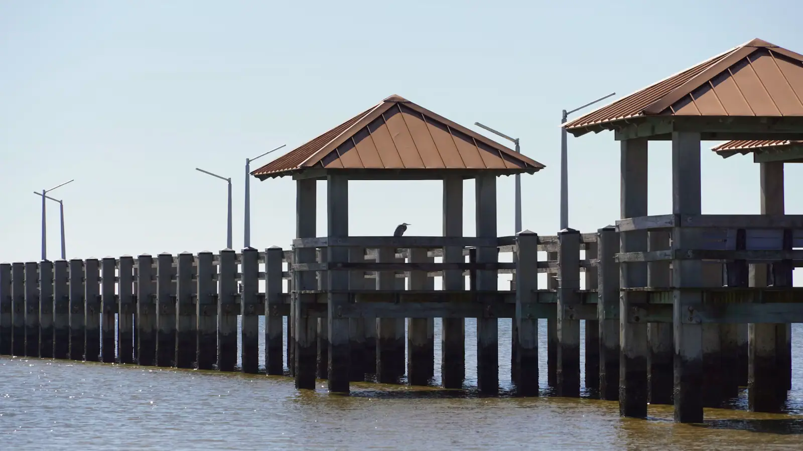
- Fishing: the piers and the harbour walls rather than the sand.
- Doing nothing with nobody near you: drive west until the cars thin out, then stop. It works every time.
Reading the water before you get in
The Mississippi Sound changes faster than most coastal water, and the reason is upstream rather than local.
The state samples the mainland beaches and posts water-contact advisories when bacterial levels rise, which typically follows heavy rain and runoff. In summer these are ordinary events rather than emergencies, and several segments can be under advisory while the rest of the coast is clear. The advisory is published rather than flagged on the sand at every access, so look it up on the morning you plan to swim.
The extreme version happened in 2019, when prolonged openings of the Bonnet Carre Spillway upstream diverted an enormous volume of Mississippi River freshwater into the Sound over a record 123 days. The harvestable oyster reefs died and all twenty-one Mississippi beaches were closed to water contact that June. That was exceptional, and it is also a useful demonstration of how quickly conditions here can change for reasons that have nothing to do with the weather you can see.
None of this makes the beach unusable. It makes checking a habit worth having, in the same way a tide table is a habit on a different coast.
The sand has a history worth knowing
Two things about this beach are not obvious while you are standing on it.
The first is that it was built. After a hurricane in 1947 chewed at the seawall holding up the beach road, engineers proposed an artificial sand beach as shore protection, and in 1951 and 1952 dredges pumped sand along the county frontage. It was promoted at the time as the longest man-made beach in the world. That is why it is so flat, so wide and so free of natural dunes: it was placed rather than deposited, and it is maintained.
The second is that it was segregated. Dr Gilbert R. Mason led wade-ins onto this sand in 1959, 1960 and 1963; the 1960 attempt was met with mob violence and gunfire. A federal court ruled the beach public property in 1967, and from 1968 it was open to everyone.
So when this page says the beach is free and never fills up, that is a fact with a date on it. It is worth knowing which sand you are lying on.
Last updated
Opening hours, ordinances and prices move with the season. We re-check this guide rather than rewrite it, and the date above is the last time someone did. How we research and correct.