On this page
If you walk the Biloxi waterfront wondering why a city founded in 1699 looks so new, this page is the answer. Hurricane Katrina came ashore on the morning of Monday 29 August 2005, near the Louisiana-Mississippi line, and the storm surge that followed it destroyed the Mississippi coast's waterfront from Waveland to Pascagoula. People died here. Much of what you are looking at is younger than 2006 because the thing that stood there before was removed.
This is not background colour for a holiday. It is the single most important fact about the place you are visiting, and treating it as anything less is how visitors end up asking a local something careless.
What happened
Katrina made its final landfall as a major hurricane, but the damage on this coast was not principally a wind event. It was water. The surge along the Mississippi shore pushed inland up to about twelve miles in places, and it did not so much flood buildings as remove them.
The highest recorded high-water mark on the coast, 27.8 feet, was taken at Pass Christian, about twenty miles west of here, and was reported as a record storm surge for the United States. Biloxi's own surge is commonly given at around twenty-two feet. On a peninsula whose highest natural ground is a few feet above sea level, those numbers mean the water crossed the whole of it.
The confirmed death toll in Mississippi was 238, of which 172 are classified as directly caused by the storm. Harrison County, which contains Biloxi, Gulfport and Pass Christian, accounted for 126 of those by early September 2005.
Why so many people stayed
One reason is worth stating, because it explains a great deal about how this coast talks about storms. Hurricane Camille in 1969 had been the local benchmark for a survivable catastrophe, and a generation who had come through Camille in their houses made the same judgement in 2005. Katrina's surge was higher.
Why the waterfront went completely
Two things about Biloxi's geography and its law made this worse than it would have been almost anywhere else.
The geography
The city sits on a low peninsula with the Mississippi Sound on one side and the Back Bay on the other, and the Sound is a shallow lagoon that funnels and piles water rather than dispersing it. Surge that would spread out along an open coast had nowhere to go.
The law
Under the state's 1990 gaming act, casino floors had to be on water, so every coastal casino was a barge moored against the shore. All thirteen of them along the Mississippi coast were destroyed or heavily damaged. Several came off their moorings entirely and were driven inland, through buildings, across highways, onto sites where they did enormous secondary damage. One landed on the construction site of the Ohr-O'Keefe Museum of Art, half a mile from the water.
In a special session that autumn the legislature changed the rule, permitting coastal casinos to rebuild on land within eight hundred feet of the shoreline. Every large building on today's beach strip exists because of that vote.
What came back, and when
The rebuilding was neither quick nor even. This is the sequence a visitor can actually see:
| Reopened | What |
|---|---|
| June 2006 | The Schooner Pier Complex at Point Cadet |
| 29 August 2006 | Beau Rivage, on the first anniversary of the storm |
| July 2007 | Hard Rock Biloxi, which had been days from opening when Katrina hit |
| 1 November 2007 | The replacement Biloxi Bay Bridge to Ocean Springs, with a walking and cycling path |
| 3 June 2008 | Beauvoir's main house, after severe damage |
| February 2010 | The Biloxi Lighthouse, relit after restoration |
| 8 November 2010 | The Ohr-O'Keefe Museum of Art campus, with its ceramics centre following in 2012 |
| 2013 | The Jefferson Davis Presidential Library at Beauvoir |
| 2 August 2014 | The Maritime and Seafood Industry Museum, nine years after it was destroyed |
| 29 August 2020 | Mississippi Aquarium in Gulfport, opened on the fifteenth anniversary |
Read that column of dates again. The casinos were back within two years. The museum that holds this city's own history took nine.
What did not come back
Some things were not rebuilt, and a visitor should know which, because their absence is part of what you are looking at.
- Tullis-Toledano Manor, an 1850s house on the beach road, was destroyed when a casino barge came ashore onto the site. It was not rebuilt.
- The Marine Life Oceanarium in Gulfport, a coast institution for decades, did not reopen. The Mississippi Aquarium that opened in 2020 is a new and separate institution, not a continuation of it.
- Whole residential streets in East Biloxi. The neighbourhoods behind the Point were among the worst hit, and two decades on there are still concrete slabs, empty lots and vacant corners where houses stood. Some of that land was bought out; some of it was simply never rebuilt on.
- A share of the population. The city lost people after 2005 and took more than a decade to recover; the 2020 census counted 49,449, still a little short of where Biloxi stood in 2000.
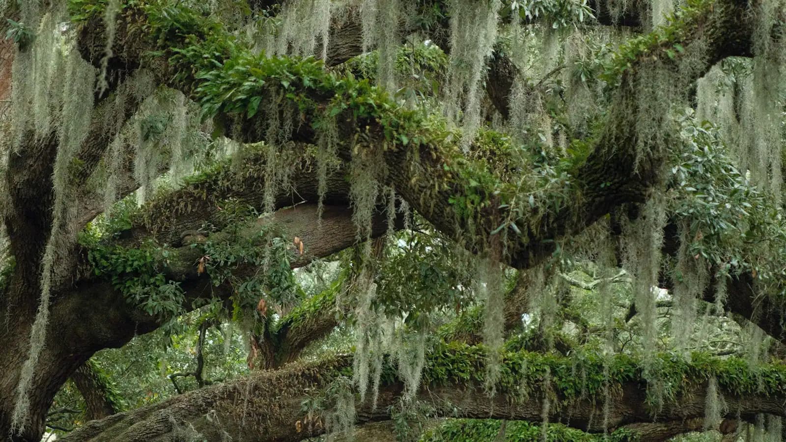
- Trees. Salt water killed thousands of live oaks along the shore. Some of the dead ones along US 90 were carved in place by a chainsaw sculptor into pelicans, herons and dolphins, and they stand there now as a memorial that is easy to drive past without understanding.
Where to understand it properly
The Katrina Memorial on the Town Green, downtown by the beach road, is the place to start. It is a plain granite wall carrying the names of coast residents killed in the storm. It takes five minutes and it reframes everything you look at afterwards.
The Maritime and Seafood Industry Museum at Point Cadet holds a dedicated hurricane exhibit. The building itself is the story: this museum was destroyed in 2005 and took nine years to return. It is the single best place on the coast to understand what happened, told by the industry it happened to.
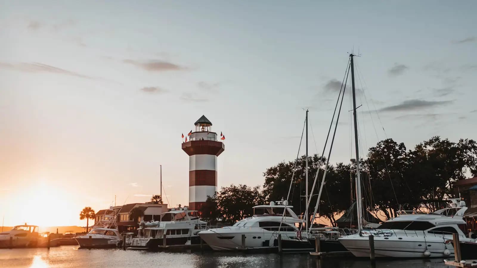
The Biloxi Lighthouse, standing in the median of US 90 since 1848, came through it. Cast iron, a little over sixty feet, relit in 2010 after restoration. There is a reason it ended up on the city's welcome signs.
And then simply look, once you know what to look for: buildings raised on piers, ground floors designed to be sacrificed, car parks where houses were, and a beach road where almost every structure dates from after 2006.
How to visit respectfully
This is a working city where the storm is within living memory for nearly every adult you will meet, and where a good many people lost family. A few things follow from that.
Ask, but do not press. Plenty of people here will tell you their Katrina story at length, and some will change the subject, and both are fine. Do not go looking for ruins in residential streets to photograph; those empty lots belong to somebody. Do not describe the rebuilding as a miracle, which locals hear as a way of skipping over twenty years of insurance fights and federal programmes. And if you are here on 29 August, expect commemorations, and expect them to be for residents rather than for visitors.
The most useful thing a visitor can do is get the facts right and spend money in the city. That is not a platitude. This economy was rebuilt by people who stayed.
Camille, Katrina and why locals compare them
You will hear both names in the same sentence on this coast, and the comparison carries real weight rather than being nostalgia.
Hurricane Camille struck the Mississippi coast in August 1969 as one of the most intense hurricanes on record to hit the United States, and for thirty-six years it was the benchmark against which every storm here was judged. It also cut Ship Island in two, opening a channel that stayed open for fifty years until the Army Corps closed it in 2019.
That benchmark is part of why 2005 was so deadly. People who had ridden out Camille in their own houses made a reasonable-seeming judgement that they could ride out Katrina, and the surge was higher. Emergency managers on this coast have talked about the Camille problem ever since, and it is the reason evacuation messaging here now talks about water rather than wind speed.
For a visitor the practical version is short. Category number tells you about wind. Surge is what kills people on this coast, and a weaker storm on a worse track can put more water over this peninsula than a stronger one. If an evacuation is called while you are here, go.
What this means if you are visiting in season
The Atlantic hurricane season runs from 1 June to 30 November, and on this coast the statistical peak is late August into September. That is not a reason to avoid the Gulf in summer. It is a reason to book differently.
Three things worth doing. Pay for the refundable rate rather than the cheapest one, particularly for anything in late August or September, and read what the cancellation terms actually cover. Take travel insurance that names named-storm cancellation. And if you are driving, know before you arrive that the evacuation routes here run north, and that they are signed.
Watch the National Hurricane Center rather than a forecast app, and note that a watch or warning here is issued for surge separately from wind. Hotels on this coast evacuate when the county says so, and casino resorts close their floors; neither will keep you as a guest through a landfall, and neither should.
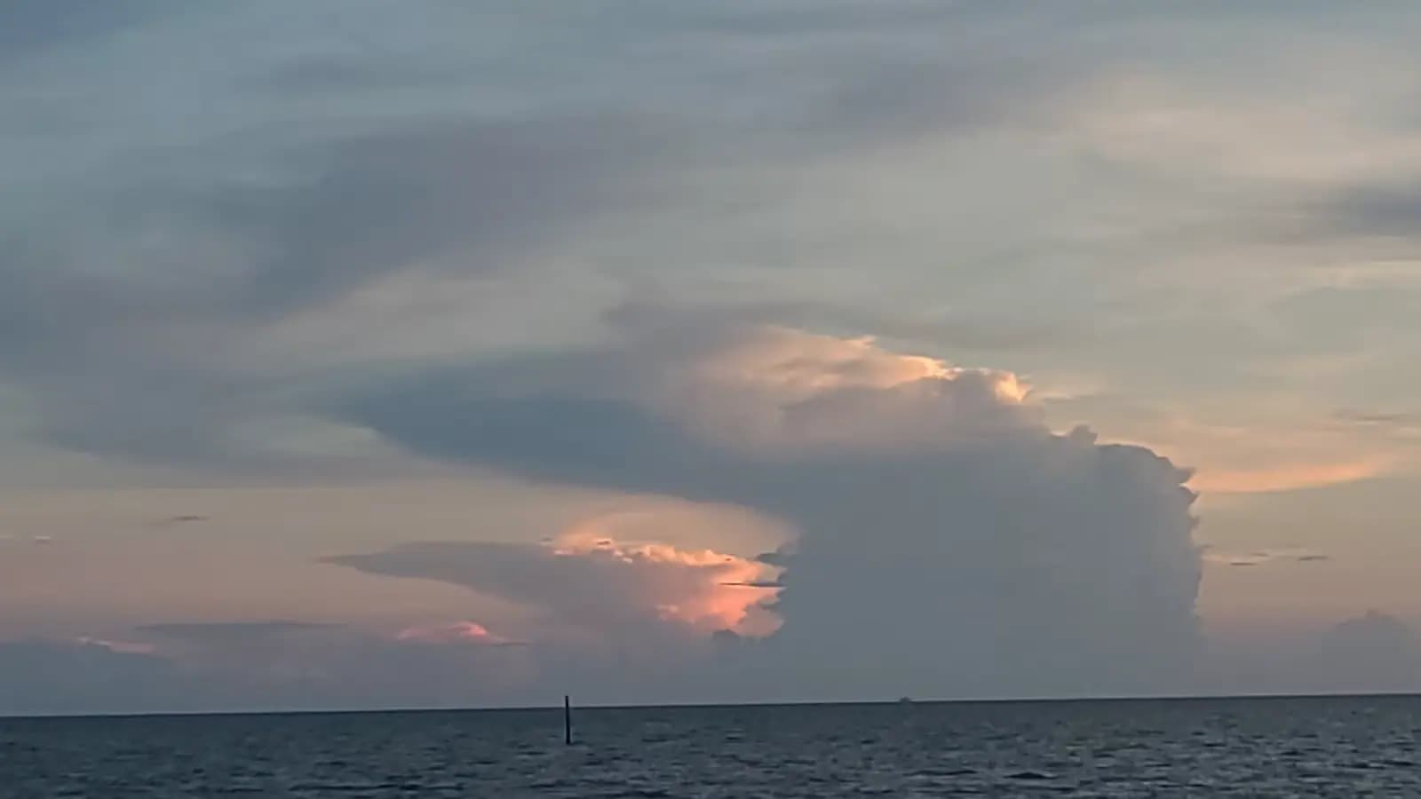
The routine summer version of all this is much smaller: afternoon thunderstorms most days, lightning over open water, and an occasional day when the boats do not sail.
Last updated
Opening hours, ordinances and prices move with the season. We re-check this guide rather than rewrite it, and the date above is the last time someone did. How we research and correct.