Neighbourhood
Free
Point Cadet
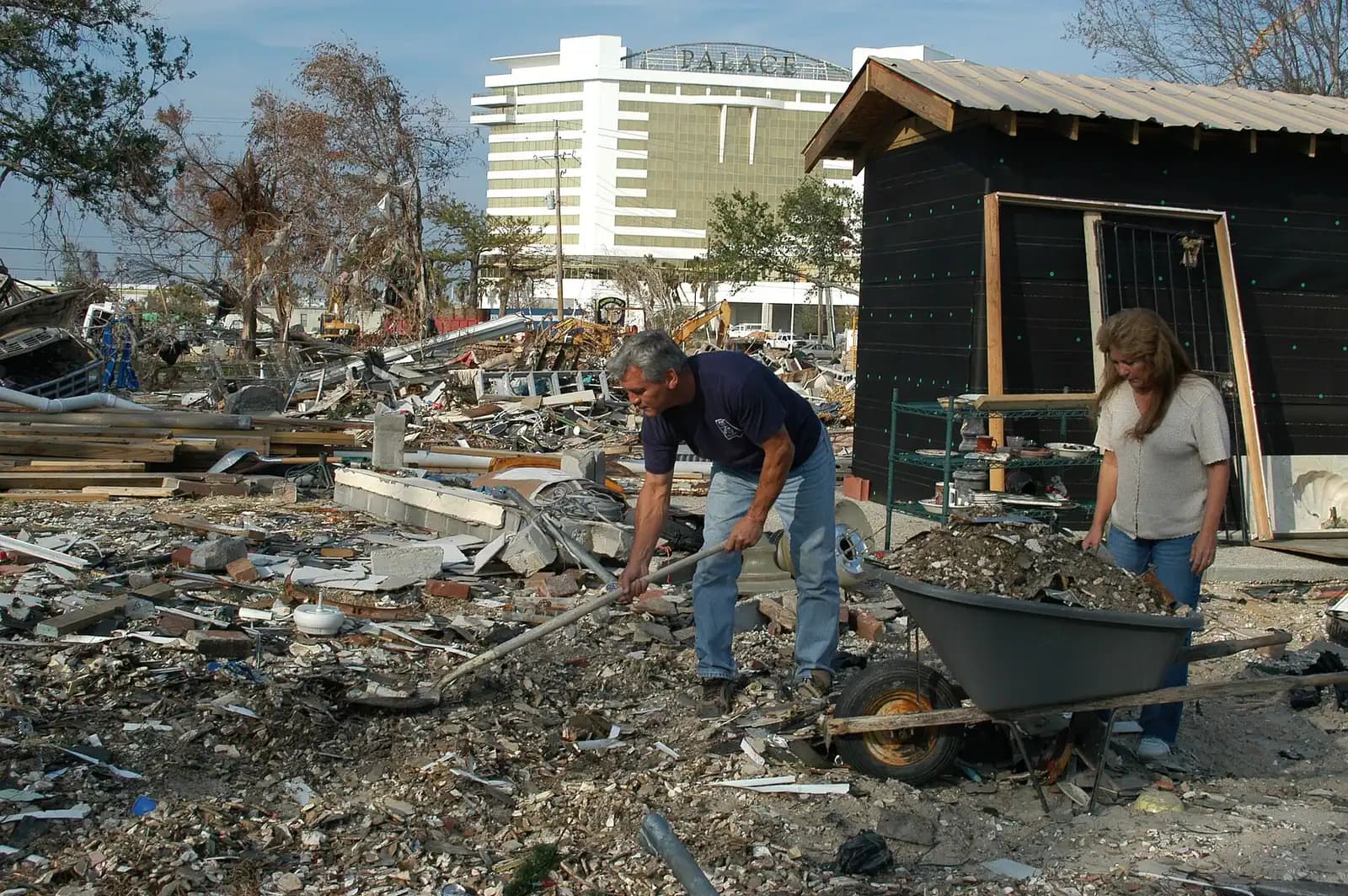
The headland where the canneries stood for a century and where Mississippi's coastal casino era began in 1992.
1–3 hoursFree to walk. The museum and the schooner sailings are ticketed separately.2.3 mi away

Water feature
Last updated
The sheltered estuary behind the peninsula, where the shrimp grow up and the fleet goes to hide from hurricanes.
Photo: Detroit Publishing CompanyPublic domain
Biloxi is a peninsula, which means it has two coastlines, and visitors almost never see the second one. The Back Bay runs along the northern edge of the city from the Jackson County line in the east, west across the whole width of Biloxi, to Big Lake at the city's western boundary, where the Biloxi River and the Tchoutacabouffa River come together and empty into it.
It is a completely different body of water from the Sound. Sheltered, narrow in places, fringed with marsh grass and cut with bayous that run back into the woods. Fresher at the western end where the rivers arrive and saltier at the eastern end where it opens into Biloxi Bay. Brown, quiet, and lined with the parts of the city that do not face a highway: boatyards, seafood processors, docks, the backs of neighbourhoods, and on the north shore the city of D'Iberville.
This water is the reason the seafood industry existed. Brown and white shrimp spawn offshore and the young come into estuaries like this one to grow, using the marsh edge as cover and food before moving out into the Sound and the Gulf. Blue crabs do the same. The catch that built the canneries was raised here first.
It is also the reason the fleet survives storms. When a tropical system is genuinely coming, boats leave the exposed harbours on the Sound and run up the Back Bay into the bayous, where a narrow tree-lined channel with high banks gives shelter that an open basin cannot. An empty harbour on the Sound side in September means somebody made that call.
For a visitor it is a kayak morning, a fishing trip, a bridge to stand on at dusk, or simply the twenty seconds of view you get crossing it on the interstate. Almost nobody stops. They should.
The Back Bay is the north side of the city, so getting to it means turning away from the beach rather than towards it.
From the beach road, take any of the north-south streets or the interstate spur up across the peninsula. The road bridges between Biloxi and D'Iberville cross the bay and are the easiest places to see it from with a car; there are pull-offs and fishing access at several points, and the D'Iberville side gives the better view back at the Biloxi skyline.
For paddling, use a public launch ramp on either shore. Ramps exist on both the Biloxi and D'Iberville sides and their facilities vary, so check what is open before loading a boat.
From Point Cadet, the bay is a few minutes north. From Gulfport, the quickest approach is inland on I-10 and then south on the spur rather than east along the beach road.
Draw the city as a long finger of land pointing east. The Sound is south of it, with the beach road and the casinos along that edge. North of it is the Back Bay, and at the eastern tip the two waters meet at Biloxi Bay, which the US 90 bridge crosses towards Ocean Springs.
Go west along the Back Bay and it narrows and freshens. At the city's western boundary it opens into Big Lake, and into that arrive the Biloxi River and the Tchoutacabouffa River, which meet there. Those two rivers drain pine country and swamp inland, which is where the tea-brown colour and much of the fresh water in this system originate.
The Tchoutacabouffa carries a footnote worth having. George Ohr, the potter whose museum sits on the beach road, dug much of his clay out of that river. The strangest ceramics made in nineteenth-century America came out of the mud behind this city.
Crossing the bay, from east to west, are the interstate spur, the road bridges that connect Biloxi to D'Iberville, and a rail crossing. Bridges matter here for two reasons: they are where the current runs hardest, which is why the fish and the anglers gather at the pilings, and they are the only places most people ever see this water from.
A salt marsh looks like a field of grass that has been badly flooded. It is one of the most productive habitats on earth, and the northern Gulf fishery is built on it.
Brown and white shrimp spawn in the Gulf, and the larvae drift in through the passes between the barrier islands and up into estuaries like this one. There, in shallow brackish water with marsh grass on every edge, they get two things: food, in the form of the detritus a marsh constantly produces, and cover from the things that would otherwise eat them. They grow through the warm months and move back out towards the Sound and the Gulf as they get bigger, which is when the trawlers catch them.
Blue crabs run a similar cycle. Speckled trout, redfish and flounder use the same marsh edges and drains. Oysters need the particular mix of salt and fresh that an estuary provides, which is exactly why the freshwater surge from the 2019 spillway openings did so much damage to the reefs.
The practical consequence for a visitor is that the Back Bay is where the coast's wildlife concentrates. Herons and egrets work the grass line, ospreys fish the open water, and in the fresher upper reaches and bayous there are alligators, which are shy and are not a swimming hazard in any ordinary sense but are genuinely present.
This is the most useful thing to understand about the Back Bay, and it explains something a visitor may otherwise misread.
A boat in an open harbour on the Sound during a hurricane is in the worst possible place: surge lifts it above its moorings, wind has an unobstructed fetch across miles of water, and the whole basin fills with debris and other people's boats. A boat tied deep in a narrow bayou off the Back Bay is in a far better one. The banks are high, the trees break the wind, the fetch is measured in yards rather than miles, and lines can be run to several points on both sides.
So when a system becomes serious, the fleet moves. Trawlers and charter boats leave the Sound-side harbours and run up the bay and into the bayous a day or two ahead of the weather, which is why an unexpectedly empty harbour in late August or September is a signal rather than a coincidence.
It is not a guarantee. Surge in 2005 went far up this system and boats were lost there too. But it is the best option available on a coast with no natural deep harbour, and it is a practice that predates forecasting.
If you are on the water yourself in hurricane season, watch what the commercial boats do. They have better information and stronger incentives than you have.
The Back Bay is not set up for visitors, which is part of its appeal and all of its difficulty. Four ways in:
One caution: this is working water with real boat traffic, barges and currents at the bridges, and it is not a swimming bay. Treat it as a place to paddle, fish and look at rather than to get into.
Straight-line distances, so allow more on the road — the island is long and has one main parkway.
Neighbourhood
The headland where the canneries stood for a century and where Mississippi's coastal casino era began in 1992.
1–3 hoursFree to walk. The museum and the schooner sailings are ticketed separately.2.3 mi away
Marina

A working harbour of trawlers and charter boats on the Sound side, best at dawn when they leave and at four when they come back.
0.5–1.5 hoursFree to walk and watch. Boat trips, charters, fuel, ice and ramp use are charged by the operators.1.9 mi away
Entertainment
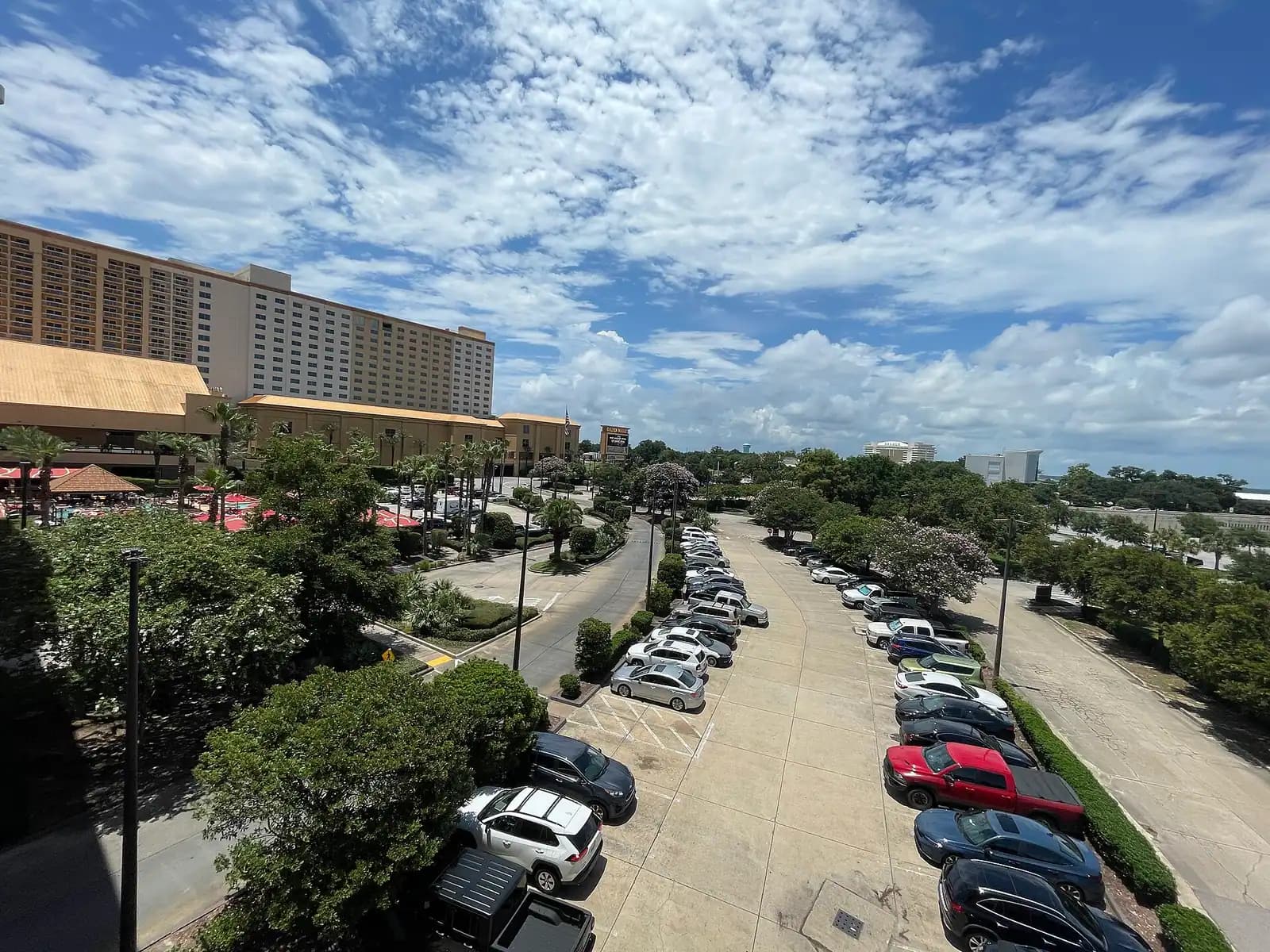
Mississippi's coastal casino era began on this patch of Point Cadet in 1992, at the quiet end of the strip beside the bay bridge.
1–4 hoursNo charge to enter or walk the public areas. Rooms, dining and parking-adjacent extras are priced separately.2.3 mi away
Museum
Canneries, schooners, net-making and the Vietnamese shrimp fleet: the museum that explains why Biloxi is here at all.
1.5–2.5 hoursA modest admission charge for adults, with lower rates for children, students and seniors. Schooner sailings are priced separately.2.3 mi away
Where this place fits into a day, and the pages that plan one.
Guide hub

Biloxi is confusing for about an hour and then it makes complete sense. You arrive on a four-lane highway with water on one side and casino towers…
Guide hub
Almost everything on this list is on one road or reached from it. US 90 runs the length of the Biloxi peninsula with the Mississippi Sound on the…
Plan your trip
The mistake people make here is not choosing the wrong way to travel. It is assuming that because everything sits on one road, everything is close…
Budget
Most coastal towns charge you for the privilege of arriving. A beach parking permit, a per-hour lot, a chair-and-umbrella concession that owns the…
Things to do
Most visitors ask for a deep-sea charter and most visitors would have a better day if they did not. That is the single most useful sentence on this…
Things to do

Biloxi is a port before it is a resort, and the boat trips reflect that. There is no fleet of glass-bottom catamarans here and no sunset booze…
Guide
A cannery town that became a casino town without ever stopping trawling. What is genuinely local, what is in season, and the question to ask before you order shrimp.
9 min readRhett Vuong
The sheltered estuary along the northern side of the Biloxi peninsula. It runs west from the Jackson County line, across the whole width of the city, to Big Lake at the western boundary, where the Biloxi River and the Tchoutacabouffa River meet and flow into it. At the eastern end it opens into Biloxi Bay and the Mississippi Sound. It is fresher in the west, saltier in the east, and lined with marsh, boatyards and docks.
It is not a swimming bay and locals do not treat it as one. This is working water with commercial boat traffic, currents running hard under the bridges, poor visibility and marsh-edge shoreline rather than beaches. Paddling, fishing and looking are the sensible uses. If you want to get into the water on this coast, the mainland beach on the Sound side or, better, the Gulf side of Ship Island are the places to do it.
Yes, and it is the best way to see it. The water is sheltered, the marsh edges are full of birds, and the bayous running off it are worth exploring. Launch from a public ramp on the Biloxi or D'Iberville side, go early before the wind and the boat traffic build, and stay clear of marked channels. Rental availability on this coast is limited and seasonal, so arrange it in advance.
In the fresher upper reaches and the bayous, yes. This is an estuary fed by two rivers draining pine country and swamp, and alligators are ordinary residents of that kind of water in Mississippi. They are shy, they avoid people and boats, and sightings from a kayak are a good day rather than an emergency. Do not feed them, keep dogs out of the water in the upper bayous, and give any animal you see room.
Because a narrow bayou is a far better place to ride out a storm than an open harbour. High banks and trees break the wind, the fetch is measured in yards rather than miles, and lines can be run to both sides of a channel. Boats in an exposed Sound-side basin get lifted by surge and battered by debris. When a system becomes serious, the commercial fleet leaves the harbours and runs up here, usually a day or two ahead.